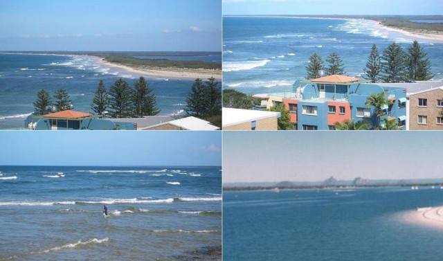
Bribie Island
Bribie Island is 34 km long and 8 wide,
is one of the three sandy islands that form the coastline sheltering of Moreton Bay, Queensland. The others are Moreton Island and North Stradbroke Island. The Pumicestone Passage separates Bribie Island from the mainland, there is a bridge since 1963 making the connection. There are trains from Brisbane to Caboolture. The population of Bribie Island is just 16000 people. Don’t miss the Bribie Island Second World War Fortifications. Don’t miss Bulcock Beach and Woorim Beach Hotels in Bribie Island
Restaurants in Bribie Island
- Sylvian Beach Seafood
- The Deck Bistro
- Savige’s Seafood
Map of Bribie Island
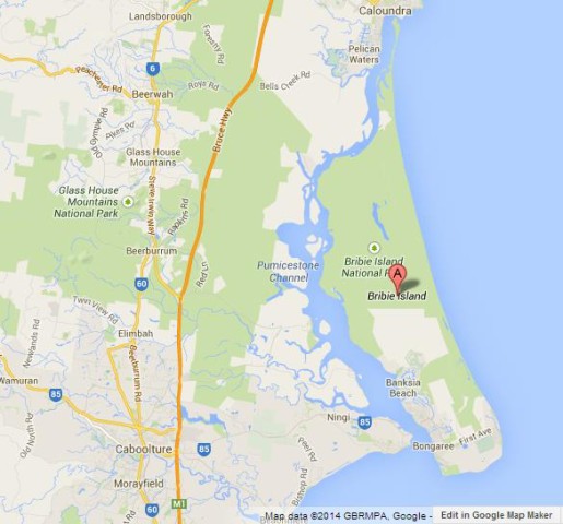
Map of Bribie Island
Where is Bribie Island on Map of Queensland
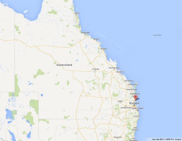
Where is Bribie Island on Map of Queensland
Where is Bribie Island on Map of Australia
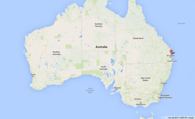
Where is Bribie Island on Map of Australia